NARTIANG MONOLITHS: The Stonehenge of India Where Giants Left Their Mark

NARTIANG VILLAGE, West Jaintia Hills — If you've ever wondered what it would feel like to walk among giants, head 22 kilometers out of Jowai and take a left past the market. There, in a clearing that feels simultaneously ancient and ordinary, hundreds of massive stones rise from the earth like frozen sentinels. Some tower 8 meters high—about three stories tall—and weigh several tons. No one used cranes. No one had wheels. Someone just... put them there. Five hundred years ago. Maybe longer.
Welcome to the Nartiang Monoliths, India's best-kept megalithic secret and the largest collection of ancient standing stones in one place across all of Meghalaya (Abhijna e-Museum, 2024). Think Stonehenge, but with better legends, fewer tourists, and absolutely zero ropes keeping you away from the stones. You can walk right up. Touch them. Feel the moss that's been growing since before your great-great-great-grandparents were born.
And honestly? That's when it hits you. These aren't just rocks. They're messages from people who wanted so badly to be remembered that they moved mountains.
THE GIANT WHO CARRIED BOULDERS: MEET U MAR PHALYNGKI
Every great megalithic site needs a legendary badass, and Nartiang's got U Mar Phalyngki—a warrior-lieutenant so impossibly strong that folklore describes him as literally a giant. Not metaphorically strong. Not "big for his time." An actual giant, according to the stories passed down through generations of Jaintia families.
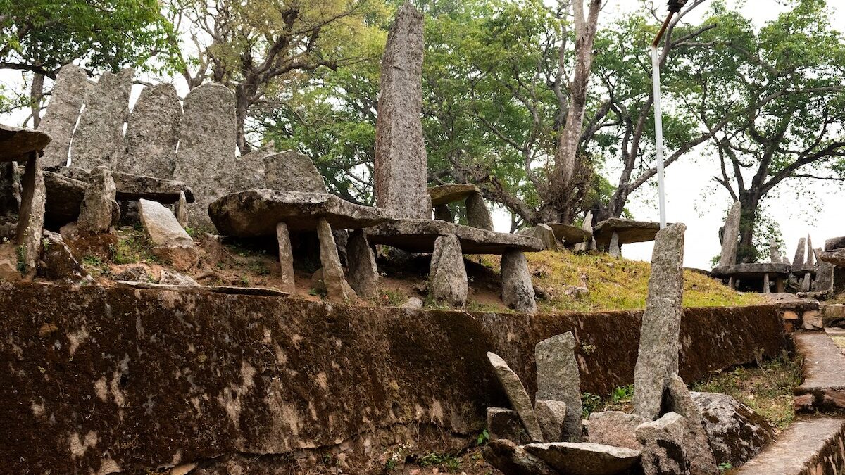
The tallest monolith at the site—a beast called Moo Iong Syiem or Moo Long Syiem—stands 8 meters (26 feet) tall and is said to have been erected by Mar Phalyngki single-handedly to commemorate a military victory (Assam Holidays, 2026; Village Square, 2025). Just picked up a multi-ton stone slab and planted it in the ground. No big deal.
The Shillong Times (2024) describes him as "a giant of a man from Nartiang, recognized by the king for his size and strength." The Phalangki clan name still exists in the village today, connecting modern residents to this legendary figure—which adds a cool dimension when you realize you might be buying tea from Mar Phalyngki's 20-times-great-nephew.
But here's where the legend gets darker. According to folklore documented by BBC Travel (2023) and other sources, Mar Phalyngki would behead enemies in battle and bring their heads back to Nartiang. Some versions say he collected heads as trophies. Others frame it as ritual sacrifice to the gods. The truth? Probably somewhere in between. The Jaintia kingdom did practice human sacrifice—usually war prisoners offered to deities—and several of these monoliths may mark those ceremonial sites.
Global Voices (2025) puts it bluntly: these stones are "remnants of India's Jaintia tribal kingdom," physical manifestations of power, spirituality, and yeah, probably violence. Ancient civilizations weren't exactly pacifists.
The Archaeological Survey of India dates most of these monoliths to around 1500 CE, though some could be older (Abhijna e-Museum, 2024). What's wild is that the tradition continued right up until 1835, when the British annexed the Jaintia Kingdom. That means the youngest stones here are less than 200 years old. Your great-great-grandparents could have watched the last monolith being raised.
MENHIRS, DOLMENS, AND THE LANGUAGE OF STONE
Let's get slightly technical (but stick with me, it's actually interesting). The Nartiang site features two main types of megalithic structures:
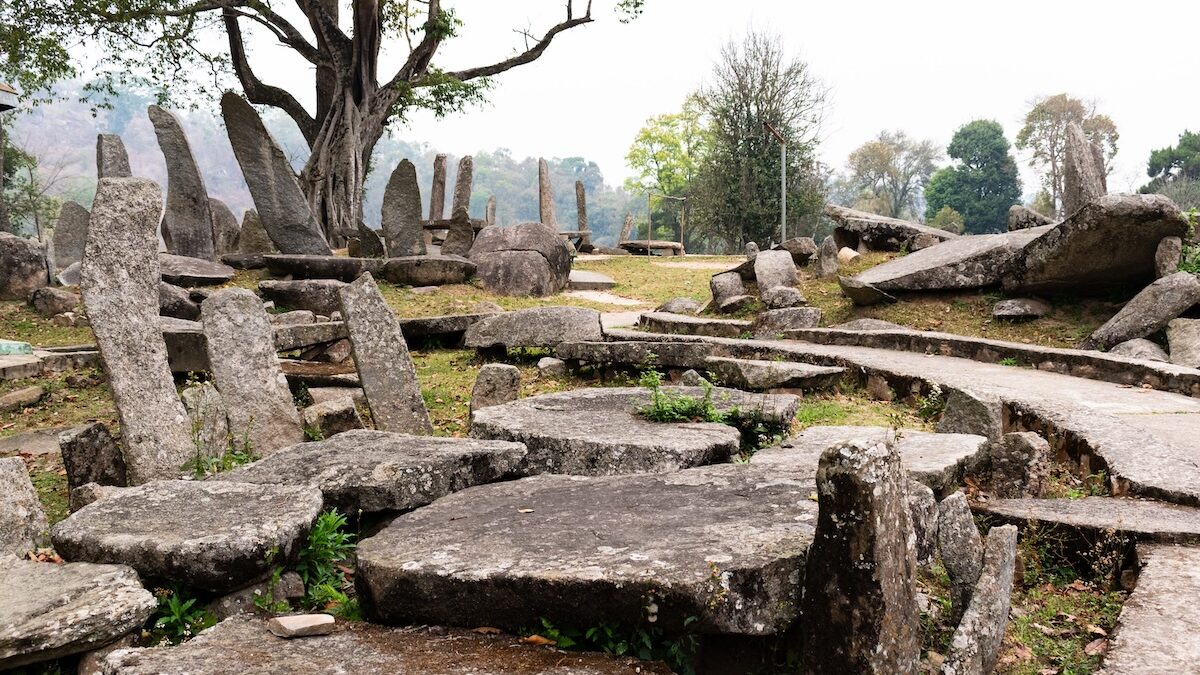
Menhirs – Standing upright stones, like massive exclamation points stabbed into the earth. The Jaintia people considered these "male stones," erected to commemorate victories, honor leaders, or mark significant clan events (Academia, 2021). The tallest menhirs required coordinated efforts from dozens—maybe hundreds—of people working together with ropes, logs, and sheer determination.
Dolmens – Flat horizontal stones balanced on support stones, creating table-like structures. These are the "female stones" in Jaintia cosmology and typically served as memorials for the deceased (Meghalaya Tourism, 2026). Families would erect them to honor ancestors and create physical anchors for spirits to remain connected to the living world.
The genius of the Jaintia system is the pairing. Many monolith clusters combine both types—a tall menhir flanked by dolmens, creating what anthropologists call "male-female paired monuments." It's not just decoration; it represents balance, the union of complementary forces, the cycle of life and death encoded in stone.
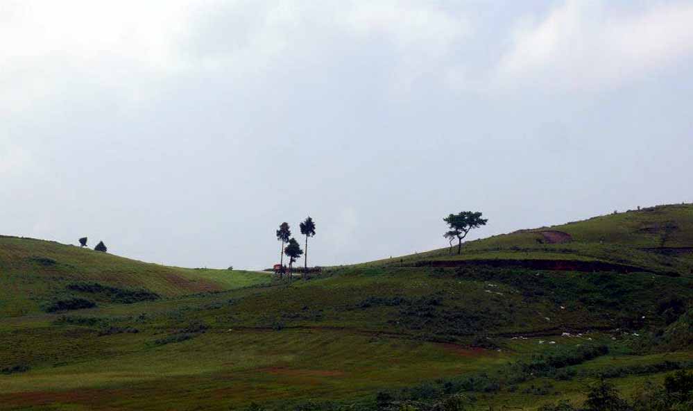
The site has hundreds of these structures arranged in irregular clusters connected by winding paths. It's not a neat grid. It's organic, almost forest-like—which makes exploring it feel like a treasure hunt rather than a museum visit.
As one Facebook visitor described it: "The large collection of monoliths are placed in such a way that to visit them one has to take winding paths. It makes for a very pretty walk" (Indian Roadie Facebook, 2019).
WALKING THROUGH THE STONE GARDEN: WHAT TO ACTUALLY EXPECT
First-time visitors consistently describe Nartiang as surprisingly peaceful. Despite the whole "giant warrior who collected heads" backstory, the site has a calm, almost meditative atmosphere. The stones stand in clusters under the shade of mature trees. Moss creeps up the older monoliths in emerald-green patterns. Ferns sprout at their bases. Village kids cut through on their way home from school, barely glancing at monuments their ancestors built centuries ago.
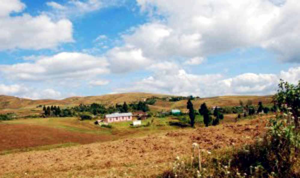
An Instagram post from December 2024 captures it perfectly: "Ancient Nartiang Monoliths as seen in today's day and age. The tallest monolith stand at 26 feet, it is said to have been erected by the U Mar Phalangki..." The accompanying photo shows the stones against a backdrop of modern Nartiang—tin-roofed houses, power lines, satellite dishes—creating this surreal juxtaposition of deep past and immediate present (Instagram, 2024).
What you'll find:
- The main cluster north of the market (largest concentration)
- Several smaller groupings scattered around the village
- A dusty information board near the entrance (minimal details)
- Zero ropes, barriers, or "do not touch" signs
- Local guides hanging around the Durga Temple who'll explain everything for ₹300-500
- Absolutely no crowds (even on weekends)
What you won't find:
- Detailed plaques explaining each stone
- Gift shops, cafés, or vendors
- Paved pathways or wheelchair access
- Restrooms or water fountains
- Entrance gates or ticket booths
TripAdvisor reviewers consistently note: "Beautiful place with a rich history. it is rarely visited and hence not crowded, takes half an hour and is on the way. would recommend visit for mysterious vibe" (TripAdvisor, 2026).
Translation: You'll probably have the place mostly to yourself, which honestly makes it better. No selfie-stick armies. No tour groups with megaphones. Just you, the stones, and the wind rustling through the trees.
THE DURGA TEMPLE NEXT DOOR: WHERE HINDUISM MEETS TRIBAL TRADITION
Right beside the monolith site sits the Nartiang Durga Temple (also called Jainteshwari Temple), a 600-year-old structure that adds layers of spiritual complexity to the village. Here's the condensed history:
Nartiang served as the summer capital of the Jaintia Kingdom during the 17th century. When the Jaintia rulers converted to Hinduism around the 15th-16th century, they built this temple to Goddess Durga—specifically designating it as a Shakti Peetha, one of 51 sacred sites where parts of the goddess Sati's body fell after she self-immolated.
According to tradition, Sati's left thigh landed at Nartiang (Wikipedia, 2026). Which is... oddly specific, but that's how Shakti Peethas work. Each body part in a different location, creating a network of pilgrimage sites across the subcontinent.
King Manik, who made Nartiang his capital about 600 years ago, supposedly had a dream where Goddess Durga appeared and told him to build the temple in her honor (eMeghalaya, 2026). He did, and it became a major pilgrimage destination, especially during Durga Puja when thousands of devotees pour into this otherwise quiet village.
Here's what makes it fascinating: The Hindu temple sits literally meters from pre-Hindu megalithic monuments. The monoliths connect to Niamtre, the Jaintia people's ancestral faith centered on ancestor worship and nature spirits (Finderbridge, 2026). So you've got Hindu pilgrims worshipping Durga while local elders still revere the stones as connections to their pre-Hindu past.
It's not conflict. It's layering. Centuries of belief systems coexisting in the same sacred landscape. The monoliths came first. The temple came later. Both remain important. Both tell essential parts of Nartiang's story.
The temple attracts crowds during festivals but remains relatively quiet the rest of the year. Visit on a random Tuesday and you'll find a handful of devotees, a priest performing daily rituals, and maybe a couple of curious tourists.
HOW TO ACTUALLY GET THERE (REAL TALK)
The Basics:
- Location: Nartiang Village, West Jaintia Hills, Meghalaya
- From Jowai: 22-24 km (45 minutes)
- From Shillong: 60-65 km (1.5-2 hours)
- From Guwahati: 160 km (3.5-4 hours)
Getting There:
From Shillong: Take NH 6 east toward Jowai. About 15 km before Jowai, watch for signs pointing to Nartiang. Shared taxis run frequently between Shillong and Jowai (₹200-300 per person). From Jowai, hire a local cab (₹400-600 round trip) or catch a shared vehicle (₹30-50 if you can find one going that direction).
From Guwahati: Either route through Shillong (longer but better roads) or take the direct route via Umrangso (shorter but rougher). Most tourists choose the Shillong route for the scenery and infrastructure.
From Jowai: Easiest. Hire a taxi, rent a bike, or sweet-talk someone with a car. The roads are decent until you hit the village approach, which is... let's call it "rustic." Google Maps mostly gets you there, but ask locals for the final turn.
No direct buses to the monolith site itself. You'll need hired transport or your own vehicle.
Practical Details:
- Entry Fee: Free (as of 2026)
- Hours: Officially 9 AM - 5 PM, but it's open-air so locals wander through all day
- Guide: Not mandatory, highly recommended. ₹300-500 for someone who knows the stories and can point out the most significant stones. Arrange at the Durga Temple or ask around.
- Duration: Plan 1-2 hours to walk around properly, another 30 minutes if visiting the temple
- Accessibility: Moderate. Uneven dirt paths, some stones require climbing small slopes to reach
Best Time to Visit:
October - April: Prime time. Clear skies, comfortable temperatures (15-25°C), perfect for wandering around. This is when most tourists visit Meghalaya.
May - June: Getting warmer and humid, but still okay. Pre-monsoon showers start but aren't constant.
July - September: Full monsoon. The stones look dramatic with rain-soaked moss and swirling mist, but you'll be wet, paths get muddy, and leeches multiply. Some people dig the moody atmosphere. Others regret it.
November - February: Absolute best. Crisp, clear, comfortable. If you can only visit once, come in winter.
What to Bring:
- Comfortable walking shoes (paths are uneven)
- Water and snacks (zero vendors at the site)
- Cash for guides, temple offerings, and local snacks in the village
- Camera (obviously)
- Sunscreen or umbrella depending on season
- Respect (locals still perform rituals here; it's sacred space)
WHAT PEOPLE ARE SAYING: THE SOCIAL MEDIA PERSPECTIVE
Modern travelers are documenting their Nartiang experiences across Instagram and Facebook, and their reactions reveal something interesting: people arrive curious and leave moved.
Instagram, January 2026:
"The Nartiang Monoliths rise in silent grace telling stories carved in stone and memory. Standing tall in the heart of Jaintia Hills they whisper tales of giants and forgotten kingdoms..." (Instagram, 2026)
Instagram Reel, 2024:
"Commonly known as the Stonehenge of India, this site features tall upright stones placed with intention and care. These monoliths were raised to commemorate victories and honor the dead..." (Instagram, 2024)
Instagram, December 2024:
"The Monoliths of Nartiang... this place is like a time capsule. It gives you a peak into the history of an ancient people." (Instagram, 2024)
Facebook, May 2024:
"Step into the forgotten realm of Nartiang, where each silent stone has a story yet to be told. With their legends of gods and giants, does this land of colossal monoliths hold secrets to our past?" (History TV18 Facebook, 2024)
Wanderlog Review:
"The Nartiang Monoliths in Meghalaya's Jaintia Hills are a remarkable testament to the rich cultural heritage of the region. Sprawled over an acre, these towering stones evoke a sense of awe and curiosity." (Wanderlog, 2026)
TripAdvisor, 2025:
"Visitors will find the site easy to access, with well-maintained pathways and informative plaques that enhance the experience." (Tripuntold, 2025) [Note: The "informative plaques" part is generous—there's basically one dusty board. But the pathways do exist.]
The recurring theme: people don't expect to be emotionally impacted by "some old rocks" and then find themselves standing in front of an 8-meter menhir, doing math in their heads about how many people it would take to move that, and getting hit with the reality that these monuments represent extraordinary collective effort by people who wanted desperately to be remembered.
Five centuries later, it's working.
WHY THIS MATTERS: THE BIGGER PICTURE
The Nartiang Monoliths aren't just a quirky tourist attraction. They're a protected national monument under the Ancient Monument and Archaeological Sites and Remains Act of 1958 (Shillong.com, 2026)—officially recognized as having national importance.
Here's what makes them globally significant:
Living Megalithic Tradition: Unlike Europe, where megalithic construction ended thousands of years ago, the Khasi and Jaintia tribes continued building these monuments into the 19th century. Nartiang represents one of the last active megalithic cultures on Earth (Andy White Anthropology, 2015).
Cultural Continuity: The same families who erected these stones centuries ago still live in Nartiang. The clans, the belief systems, the oral histories—they're unbroken. You're not looking at archaeological ruins. You're visiting someone's active cultural heritage.
Spiritual Anchors: In Jaintia cosmology, these stones aren't decorative. They're functional—physical anchors connecting the living world to the spirit realm, ensuring ancestors remain tied to the land and community (Meghalaya Tourism, 2026).
Modern Jaintia communities are actively working to preserve both the physical stones and the intangible stories. Tourism brings needed income to Nartiang village, but there's ongoing discussion about balancing access with conservation. For now, the relatively low visitor numbers actually help maintain the site's integrity and atmosphere.
NEARBY ATTRACTIONS WORTH COMBINING
If you're making the trip to Nartiang, here are other spots in the region worth checking out:
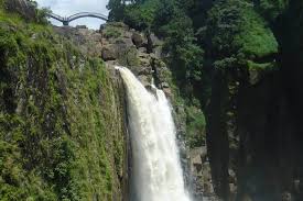
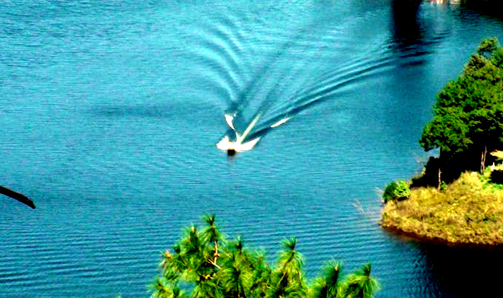
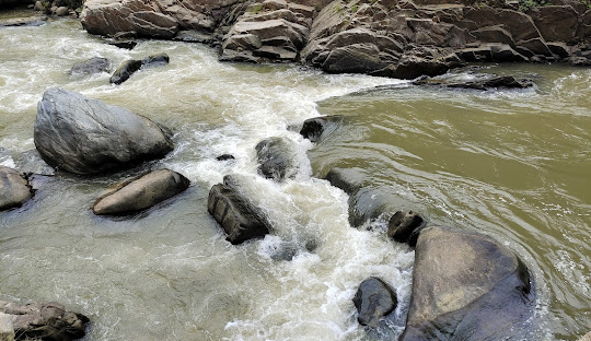
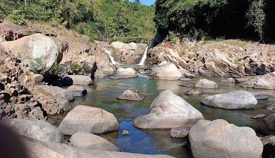
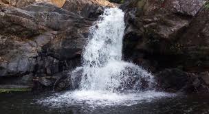
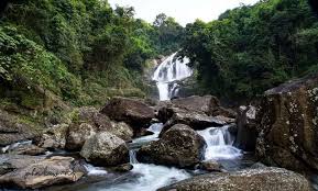
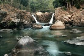
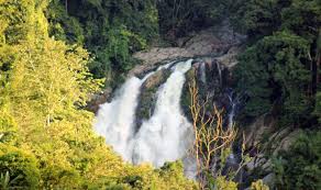
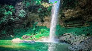
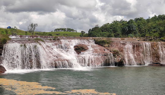
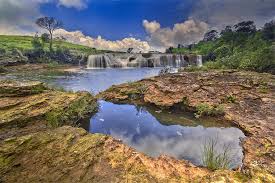
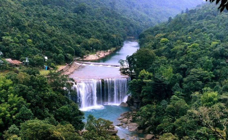
Krang Suri Falls (30 km): Turquoise pools, cliff jumping, peak Instagram. Gorgeous.
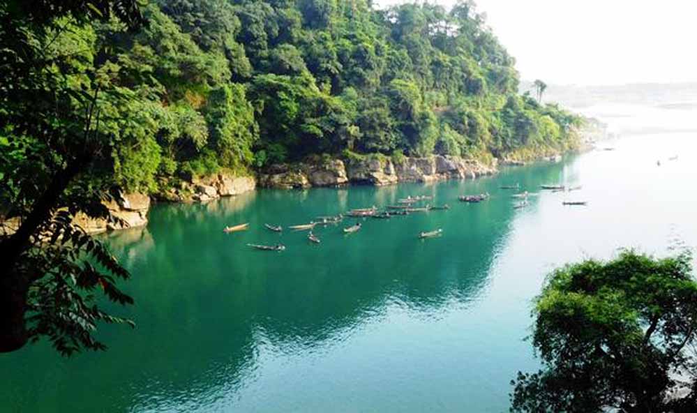
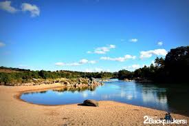
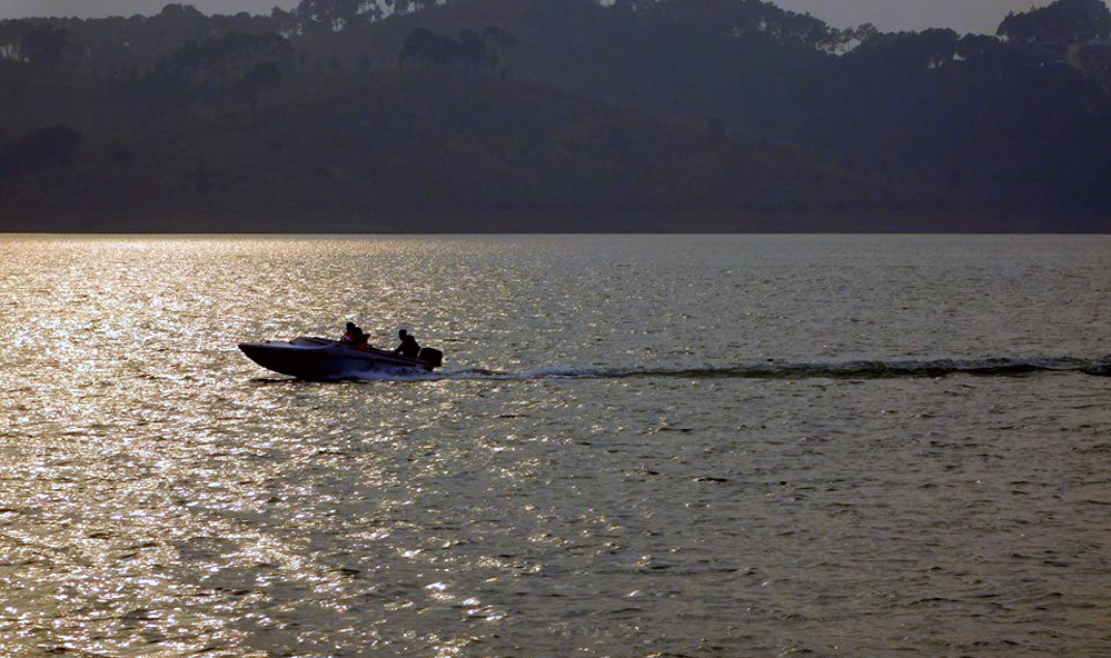
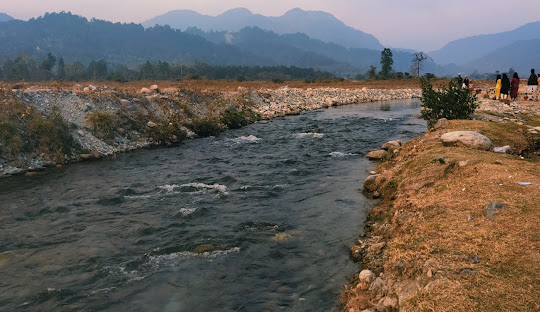
Dawki (55 km): The insanely clear Umngot River where boats look like they're floating on air. Surreal.
Jowai Town (22 km): District headquarters. Thadlaskein Lake is nice, momos are solid, budget hotels available.
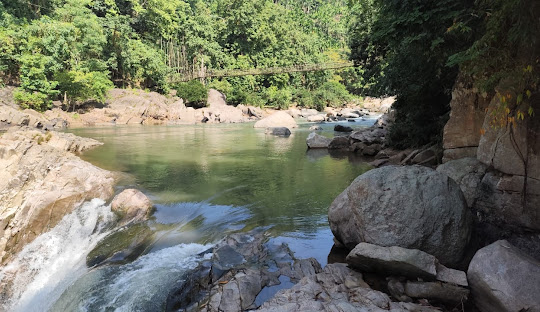
Phe Phe Falls (28 km): Less touristy than Krang Suri, equally beautiful. Better for avoiding crowds.
Syntu Ksiar (45 km): Sacred forest grove connected to Khasi indigenous religion. Fascinating if you're into ethnoecology and traditional belief systems.
Most people do Nartiang as a half-day trip from Shillong, often combining it with Krang Suri or Dawki for a full-day circuit. It works, but it's rushed. Better strategy: base in Jowai for a night and explore the region properly.
THE VERDICT: SHOULD YOU GO?
Absolutely, if:
- You're into history, archaeology, ancient cultures, or anthropology
- You like offbeat places that aren't overrun with tour buses
- You appreciate sites where you can actually touch and interact with the monuments
- You're a photographer (the stones are incredible at sunrise/sunset)
- You want to support local communities through tourism
Maybe skip if:
- You need modern infrastructure, clear signage, and extensive facilities
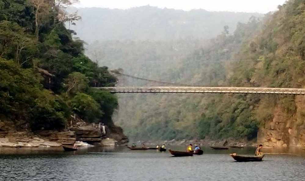
- You're looking for Instagram-famous Meghalaya spots (go to Double Decker Bridge instead)
- You get bored easily without constant stimulation
- You're uncomfortable with minimal amenities
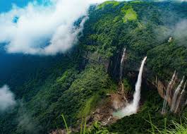
Real talk: Nartiang won't blow your mind the way Cherrapunji's waterfalls might, or make your Instagram explode like Dawki. It's quieter. More contemplative. But if you give it time—hire that local guide, listen to the legends, sit on one of the dolmens and just absorb the space—it can be genuinely profound.
There's something powerful about places where humans left their mark not through buildings or art, but through sheer physical effort. Someone—many someones—moved these massive stones without modern technology, purely through collective will and belief. And they did it to say: "We were here. We mattered. Remember us."
Five hundred years later, we're still remembering.
ESSENTIAL INFORMATION
| Category | Details |
|---|---|
| Location | Nartiang Village, West Jaintia Hills, Meghalaya |
| Distance from Jowai | 22-24 km (45 min) |
| Distance from Shillong | 60-65 km (1.5-2 hrs) |
| Distance from Guwahati | 160 km (3.5-4 hrs) |
| Entry Fee | Free |
| Hours | 9 AM - 5 PM (flexible) |
| Best Time | October - April (Nov-Feb optimal) |
| Time Needed | 1-2 hours (monoliths + temple) |
| Guide Fee | ₹300-500 (optional but recommended) |
| Nearest Accommodation | Jowai (₹600-3,000/night) |
| Site Status | Protected National Monument (ASI, 1958) |
| Accessibility | Moderate (uneven paths, minimal infrastructure) |
| Mobile Signal | Good (Airtel/Jio work) |
| Facilities | Basic (temple, no vendors/restrooms) |
| Tallest Monolith | Moo Iong Syiem (8m/26ft) |
| Dating | ~1500-1835 CE (ASI) |
Contact:
West Jaintia Hills Tourism: +91-3652-222031
Meghalaya Tourism: www.meghalayatourism.in
REFERENCES
Abhijna e-Museum. (2024). Nartiang Monoliths of Meghalaya. https://www.abhijna-emuseum.com/articles/nartiang-monoliths-of-meghalaya/
Assam Holidays. (2026). Nartiang Monoliths places to visit in Meghalaya. https://assamholidays.com/nartiang-monoliths-2/
BBC Travel. (2023). The mysterious monoliths of Meghalaya. https://www.bbc.com/travel/article/20231013-the-mysterious-monoliths-of-meghalaya
Global Voices. (2025). Monoliths of Nartiang: The remnants of India's Jaintia tribal kingdom. https://globalvoices.org/2025/02/03/monoliths-of-nartiang-the-remnants-of-indias-jaintia-tribal-kingdom-through-photos/
Meghalaya Tourism. (2026). Nartiang Megalith. https://www.meghalayatourism.in/explore/destinations/by-region/jaintia-hills/nartiang-megalith/
The Shillong Times. (2024). Mar Phalangki and the monolith at Nartiang. https://theshillongtimes.com/2024/08/19/mar-phalangki-and-the-monolith-at-nartiang/
TripAdvisor. (2026). Nartiang Monoliths reviews. https://www.tripadvisor.com/Attraction_Review-g2285397-d2441303-Reviews-Nartiang_Monoliths
Village Square. (2025). Nartiang Monoliths: Echoes of the past in Meghalaya. https://villagesquare.in/nartiang-monoliths-echoes-of-the-past-in-meghalaya/
West Jaintia Hills District. (2026). Nartiang Monoliths. https://westjaintiahills.gov.in/tourist-place/nartiang-monoliths/
White, A. (2015). Who built the megalithic monuments of Nartiang? https://www.andywhiteanthropology.com/blog/who-built-the-megalithic-monuments-of-nartiang