Assam: A Tapestry of Heritage and Wildlife

Assam, a northeastern gem, offers a unique blend of rich heritage, diverse wildlife, and breathtaking landscapes. This seven-day itinerary takes you on a journey through the heart of Assam, exploring its iconic tea estates, serene river islands, and vibrant wildlife sanctuaries.

Day-by-Day Itinerary

Day 1: Dibrugarh - The Tea Capital Arrive in Dibrugarh, the heart of Assam's tea industry. Check into Mancotta Chang Bungalow, a heritage property. Immerse yourself in the world of tea with an evening visit to a local tea estate.

Tags

SIJU BAT CAVE 30kms from Baghmara, South Garo Hills, Meghalaya

SIJU BAT CAVE
SIJU BAT CAVE
SIJU BAT CAVE
SIJU BAT CAVE
SIJU BAT CAVE

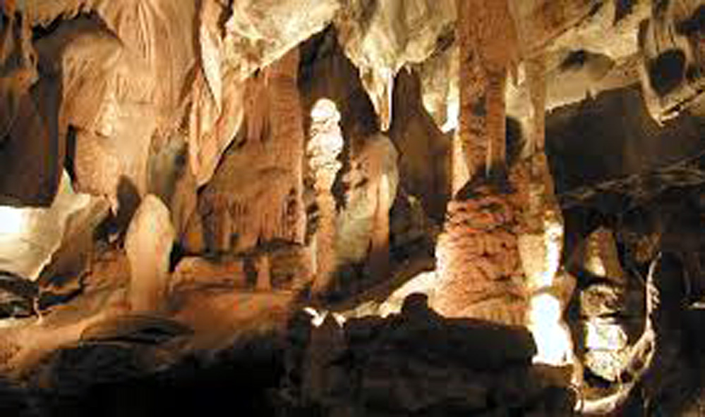
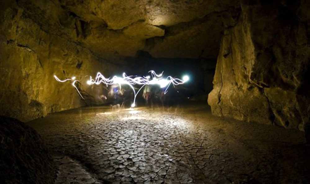
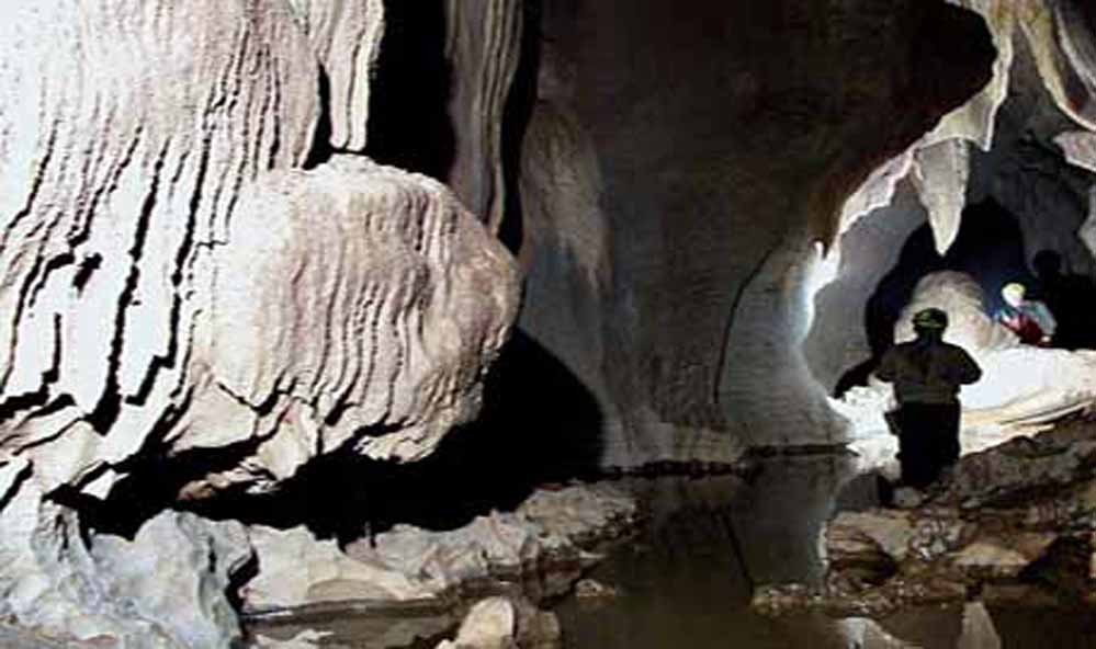
Situated on the banks of the Simsang river in South Garo Hills district of Meghalaya, Siju cave is recognised as the third longest cave in the Indian sub-continent. Known as Dobakhol or the cave of bats, Siju cave is located at a distance of 30kms from Baghmara and 132kms from Tura. The cave has a number of internal chambers and labyrinths which are yet to be explored.

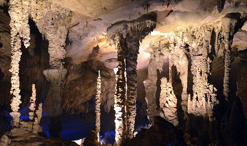
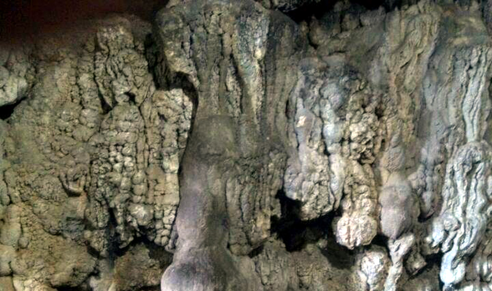
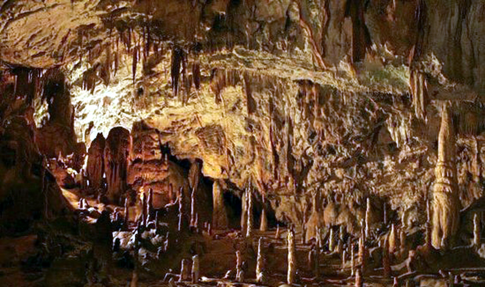
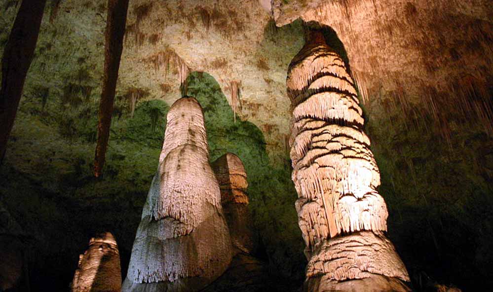
For the first time, the cave was explored by the British Geologic Survey in the 1920s. Siju cave, with its striking stalagmites and stalactites, is home to more than ten thousands of bats. In the year 2007, a new kind of cave fish called SchisturaSijuensis (Menon) was discovered.

Siju Bird Sanctuary is situated close to Siju cave. Many rare and protected birds can be spotted in this Sanctuary. An impressive rock formation at the entrance of the bird Sanctuary is truly admirable. One can find a lot of trekking sites, river rafting and angling sites, community fishing and caving sites, in the vicinity of Siju.

How to reach: 

Nearest airport is the Guwahati Airport. Helicopters are available from Guwahati to Tura. Nearest railway station is Guwahati railway station. By road Guwahati to Tura is 219kms, via Shillong it is 323 kms. By road Shillong to Tura is 167kms via NH – 17/37 and NH – 51. Tura to Siju Bat Cave is 123kms.

Location

Umlawan Cave, Lumshnong Village, near Jowai, Jaintia Hills, Meghalaya

Umlawan Cave
Umlawan Cave

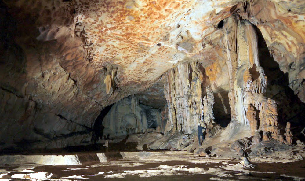
A popular destination for adventure lovers, Umlawan Cave is situated in  Lumshnong village near Jowai, in the Jaintia Hills district of Meghalaya. The inconspicuous village of Lumshnong came under public attention, when it was confirmed that the Umlawan cave is regarded as the deepest and the longest cave in the entire sub-continent with a length of 21.6kms. This cave, in the recent years, has become a major tourist attraction. Tourists from all across places come here to enjoy a wondrous view of the cave.

There are two different caves which are interconnected to the Umlawan cave – Kot-Sati and Umskor caves. The total length of these caves covers a distance of more than 21kms and the depth goes to 100m. Umlawan cave is located at a distance of 60kms east of Jowai. Many other caves, with special formation of stalactites and stalagmites, can be spotted across the entire district. Among all these caves, only a few have been explored and surveyed, others are still unknown and have not yet been explored and surveyed.

How to reach: 

Nearest airport is the Guwahati Airport. Helicopters are available from Guwahati to Shillong and Tura. Nearest railway station is Guwahati railway station. By road Guwahati to Shillong is 120kms. Shillong and Jowai have a distance of 36kms. Jowai to Umlawan Cave is 60 kms.

Best time to visit: 
November to June
Tour Type
Location

NENGKONG CAVE 14kms from Baghmara, South Garo Hills, Meghalaya

NENGKONG CAVE
NENGKONG CAVE
NENGKONG CAVE
NENGKONG CAVE

Nengkong Cave, situated at a distance of 14kms at the northern side of Baghmara (headquarters of South Garo Hills) in the South Garo Hills district of Meghalaya, serves as a well-known tourist destination. This cave is surrounded by three more caves. The most prominent among the three is the Tetengkol Balwakol cave, which is 533kms long. Interestingly, this gigantic cave is recognised as the second longest cave in the Indian sub-continent.

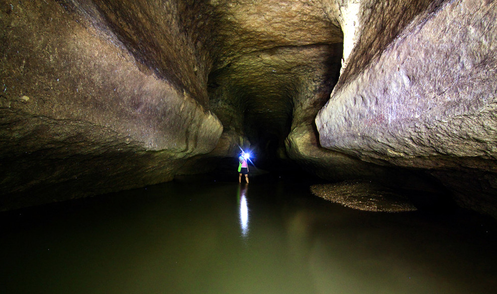
Other than Telengkol Balwakol cave, the other two caves in the vicinity are – Dobbakol Chibe Nala, which is 2kms long, and the Bok Bok Dobhakol, which is 1km long. Dobbakol ChibeNala cave is situated in the ChibeNala river and is concealed by the huge rock which is 1978m long. Similarly, like Tetengkol Balwakol cave, the other two caves are also beautiful and adventurous.

By hiring a local taxi from Baghmara, one can reach Nengkong cave.

How to reach: 

Nearest airport is the Guwahati Airport. Helicopters are available from Guwahati to Tura. Nearest railway station is Guwahati railway station. By road Guwahati to Tura is 219kms, via Shillong it is 323 kms. By road Shillong to Tura is 167 kms via NH – 17/37 and NH – 51. Tura to Baghmara is 105.3 kms via Chokpot and SibbariRoas and from Baghmara to Nengkong cave is 14 kms.

Tour Type
Location

BALPAKRAM NATIONAL PARK 167kms from Tura, South Garo Hills, Meghalaya

BALPAKRAM NATIONAL PARK

Often referred to as the ‘Land of Perpetual Wind’ and ‘Land of Spirits’, Balpakram National Park is located 167kms away from Tura in South Garo Hills district of Meghalaya. Several mysterious stories and unnatural phenomena revolve around this Park. There are findings, but it cannot be convincingly explained by modern science and logic. The local Garo tribe people consider this land to be immensely revered and of great religious importance.

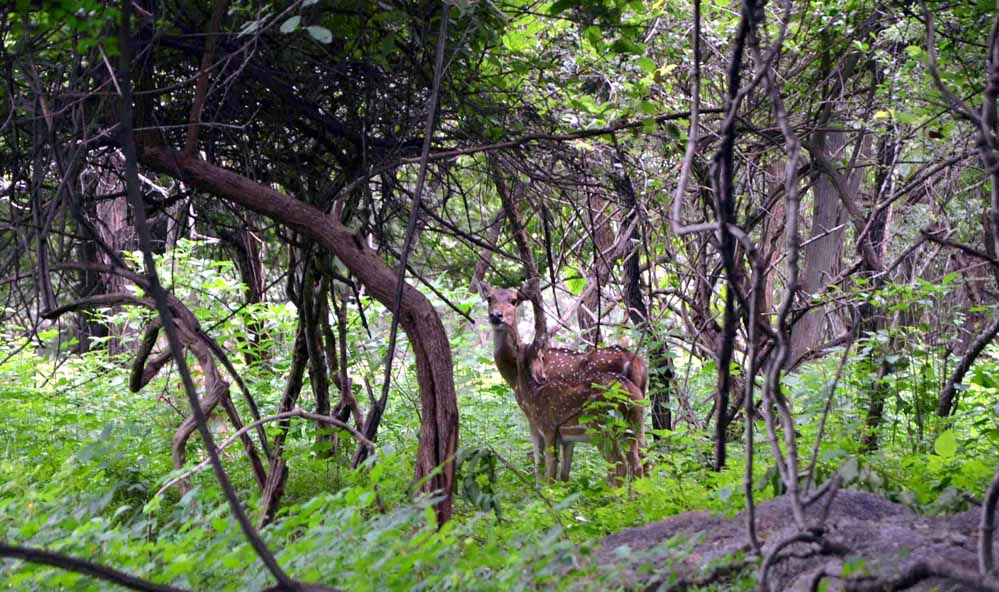
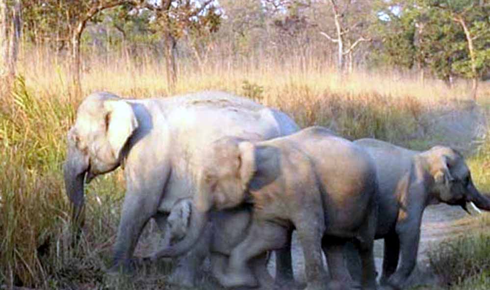
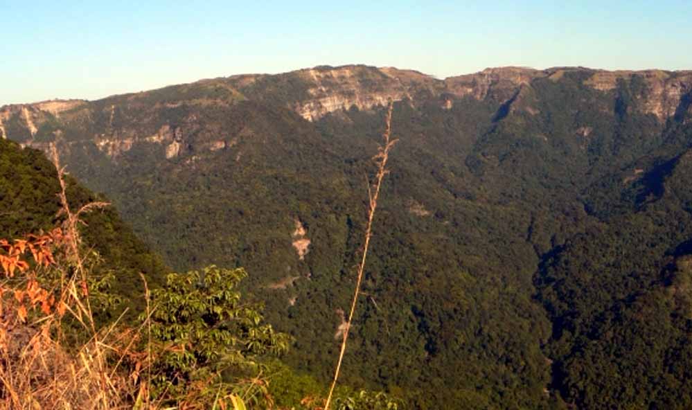
But apart from the unsolved mysteries, this Park, surrounded by beautiful landscape, curved green trees, canyons, thick dense forests, is a place worth visiting. The National Park is inhabited by different species of wild animals like elephants, tigers, leopards, wild buffalo, red panda, barking deer, golden cat, baboons, hoolock gibbons etc. More than hundred species of birds are also found here. Mid-April to mid-June is the suitable time for bird watching and wildlife study.

The Park is also rich in vegetation, with sub-tropical and deciduous trees adorning the Park. Blooming of orchid plants, pitcher plants can also be seen. The Balpakram National Park offers a unique and exciting experience. It allures tourists and nature lovers from all across the globe. One can stay at the guest house at Hattisil near the entrance of the Park, which is run by the Forest Department.

How to reach: 

Nearest airport is the Guwahati Airport. Helicopters are available from Guwahati to Tura. Nearest railway station is Guwahati railway station. By road Guwahati to Tura is 219kms, via Shillong it is 323 kms. By road Shillong to Tura is 167kms via NH – 17/37 and NH – 51. Tura to Baghmara is 105.3kms via Chokpot and SibbariRoas and from Baghmara to Balpakram National Park is 47kms.

Best time to visit: 
March to June
Location

NOKREK NATIONAL PARK, 45kms from Tura, West Garo Hills, Meghalaya

NOKREK NATIONAL PARK

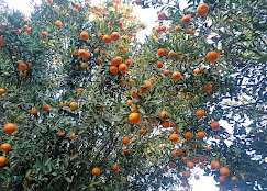
Recognised as one of the Biosphere Reserves in India by UNESCO, Nokrek National Park is situated at a distance of 45kms from Tura in West Garo Hills district of Meghalaya state. The National Park has been named after the Nokrek mountain peak, which is the highest peak in Garo Hills. Varieties of plants adorning the hilly forest area make the Park look beautiful with all its greenery. One of the popular varieties of plants - Citrus Indica is found here.It has made a contribution in establishing the National Citrus Gene Sanctuary-cum-Biosphere Reserve in the region.

Known for its flora and fauna, the Park is home to various species of wild animals like red panda, Asian elephants, tigers, eight species of cats, the rare stump tailed macaque, the pig-tailed macaque, hoolock gibbon and seven species of primates.Stringent rules have to be followed while touring the core area where the red panda inhabits.Apart from that, the Park, is also a divine abode for bird watchers. Different species of birds can be spotted here.

Some of the well-known tourist attractions in the region are the Nokrek Peak and Rong’bang Dare waterfalls.

How to reach: 

Nearest airport is the Guwahati Airport. Helicopters are available from Guwahati to Tura. Nearest railway station is Guwahati railway station. By road Guwahati to Tura is 219kms, via Shillong it is 323 kms. Tura to Nokrek National Park is 45 kms.

Best time to visit: 
October and May
Tour Type
Location

TURA PEAK Tura, West Garo Hills, Meghalaya

TURA PEAK
TURA PEAK
TURA PEAK

Situated on the eastern side of Tura town in the West Garo Hills district of Meghalaya, Tura Peak, is a beautiful and magnificent hill, standing at a height of 872 metres above sea level. This majestic peak provides a panoramic view of the lower Brahmaputra valley and the golden-yellow plains of Bangladesh. A foot-track or a foot-path was constructed during the British colonial rule in India, which is still in existence. Tourists and ardent mountaineers can easily reach to the top of the Tura peak through this foot-track.

The natives believed that the peak provides a divine abode to the God ‘Durama’. Tura was originally known as Dura. But since the British could not pronounce the word ‘Dura’, the town came to be known as Tura.
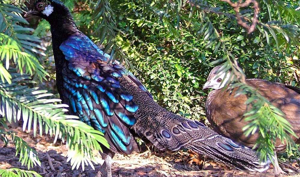
The Tura range has been recognised as a reserve forest. An observatory, a Cinchona plantation and a tourist bungalow can also be found in its vicinity. While hiking, one may come across the rare hoolock gibbon, macaques, pheasants and varieties of other birds.

Balpakram National Park, Siju caves and Nokrek are some other tourist spots near the Tura peak which are worth visiting.

How to reach: 

Nearest airport is the Guwahati Airport. Helicopters are available from Guwahati to Tura. Nearest railway station is Guwahati railway station. By road Guwahati to Tura is 219kms, via Shillong it is 323 kms. By road Shillong to Tura is 167kms via NH – 17/37 and NH – 51. Tura to Tura Peak is 3.1kms via NH 127B.

Best time to visit: 
October and March
Location

CHISOBIBRA VILLAGE, 8kms from Williamnagar, East Garo Hills, Meghalaya

CHISOBIBRA VILLAGE
CHISOBIBRA VILLAGE
CHISOBIBRA VILLAGE

Chisobibra village is renowned, as the place where the last Garo warrior Pa Togan Nengminia Sangma battled and died fighting against the British colonizers. In the memory of this mighty and courageous fighter, a monument was erected here. Each year, Pa Togan Nengminia Sangma’s death anniversary is observed in an appropriate way.

The legendary Garo leader was defeated by the British in a battle which took place in Chisobibra, on the outskirts of Williamnagar on 12th December 1837. He was a true leader leading his daring men into a fierce battle against the intruding British force. Their only weapon was a local spear called ‘Selu’, and thick plantain was used in order to protect themselves from bullets shot by the British invaders. But despite that, the bullets pierced through the plantain killing the warriors and marking them as martyrs of the land. It was at Chisobibra, that the brave leader, Pa Togan Nengminia Sangma breathed his last.

How to reach: 

Nearest airport is the Guwahati Airport. Helicopters are available from Guwahati to Tura. Nearest railway station is Guwahati railway station. By road Guwahati to Tura is 219 kms, via Shillong it is 323 kms. Tura to Williamnagar is 77 kms and Williamnagar to Chisobibra is 8 kms.

Best time to visit: 
October to February
Location

NARTIANG MONOLITHS, 22kms from Jowai, West Jaintia Hills, Meghalaya

NARTIANG MONOLITHS
NARTIANG MONOLITHS
NARTIANG MONOLITHS
NARTIANG MONOLITHS

A collection or a garden of monoliths can be found in Nartiang village, which is located in a distance of about 22kms from Jowai, the district headquarters of Jaintia Hills and 60kms from Shillong. These monoliths stand as an affirmation of the Jaintia ruler’s strength. It was implanted to mark the reign of the former Jaintia King. The collection of monoliths certainly attracts tourists.

The Ancient Monument and Archaeological Sites and Remains Act of 1958, has recognised this site as a place of national importance. The monoliths include Menhirs (upright stones) and dolmens (flat stones in horizontal position). The tallest and the biggest Menhir was erected by U Mar Phalyngki, who was an honourable lieutenant of the Jaintia King, in order to commemorate his win in battle. Other monoliths were erected by the followers of former Jaintia kings and various other clans of Nartiang village in the early 17th century.

How to reach: 

Nearest airport is the Guwahati Airport. Helicopters are available from Guwahati to Tura. Nearest railway station is Guwahati railway station, which is 176kms from Shillong. By road, Guwahati to Shillong is 99.5kms via NH 40. Shillong to Nartiang is 62.8kms via NH 44.

Best time to visit: 
The best months(or season)to visit there coincides with that of the destination itself.
Location

Shillong Dotcom brings news, views, business, tourists into one platform.  

Address: Shillong Dotcom, c/o: Online Tent Service Centre, Pynthorbah Block 2 Church Street Shillong - 793001, Meghalaya. INDIA.

For inquiries, collaboration, please contact us at: office@shillong.com, sam@shillong.com. Phone: 6033091345.